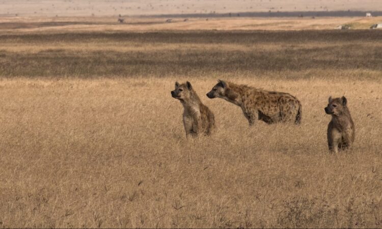
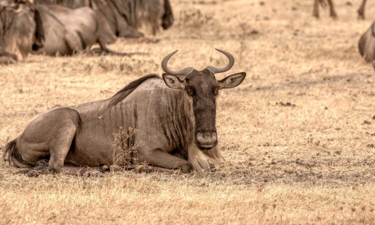
The highlands of the Ngorongoro Conservation Area are wide. The famous Ngorongoro Crater alone covers about 168 square kilometers and has a diameter of about 19 kilometers. The crater rim rises to just below 2,000 feet above sea level. Beyond the crater floor, many highlands spread across the area, especially along the western edge of the Great Rift Valley. These highlands shape the landscape and support wildlife, people, and walking activities.
Below are some of the main highlands found within the Ngorongoro Conservation Area.
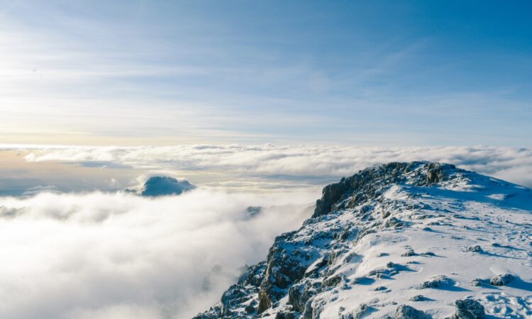
Mountains Lolmalasin & Losirua
Mount Lolmalasin is the tallest mountain inside the Ngorongoro Conservation Area. It is also the third tallest mountain in Tanzania, after Mount Meru and Mount Kilimanjaro. Mount Lolmalasin stands at about 3,700 meters above sea level.
Mount Losirua is connected to Mount Lolmalasin and rises to about 3,260 meters above sea level. These two mountains are found on the eastern border of the Ngorongoro Conservation Area. They are close to Olmoti Crater and lie along the route to Empakaai Crater. Visitors with good fitness can hike these mountains in one day, making them suitable for short walking trips.
Kerimasi Mountain
Kerimasi Mountain, also known as Mlima Kerimasi, is a volcanic mountain within the Ngorongoro area. It stands at about 2,620 meters above sea level. Kerimasi is an extinct volcano and forms part of the Great East African Rift Valley.
A large part of the mountain lies in the Engaruka ward, which is one of the sections of the Ngorongoro Conservation Area. The slopes and surrounding land show signs of past volcanic activity. The mountain adds to the geological importance of the Ngorongoro highlands.
Ol Doinyo Lengai Mountain
Ol Doinyo Lengai is one of the most known mountains near the Ngorongoro Conservation Area. The name is often misspelled because it comes from the Maasai language. The mountain stands at about 2,890 meters above sea level.
Ol Doinyo Lengai is located about 240 kilometers north west of Arusha. It lies in the Rift Valley and overlooks Lake Natron. The Maasai people consider Ol Doinyo Lengai a sacred mountain and call it the Mountain of God. It is the only active volcano in the area and plays an important role in local culture and geology.
The Gol Mountains
The Gol Mountains offer good walking experiences through plains, hills, and forest areas. The range sits above the escarpment of the Great Rift Valley. From the Gol Mountains, visitors can see wide views of the Ngorongoro Crater and gain a clearer view of Empakaai Crater.
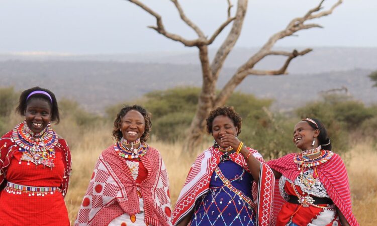
The Gol Mountains are the ancestral home of the Maasai people. The soils here support grass growth, which has attracted pastoralists for many years. The plains also support animal movement between Serengeti National Park and Maasai Mara.
The Gol Mountains rise to about 915 meters above sea level and are made up of several ridges. Some studies suggest these ridges are among the oldest geological structures in the region, formed over one million years ago.
Best time to visit the Ngorongoro highlands
The Ngorongoro highlands can be visited throughout the year. The dry months from December to February and from mid June to September are usually easier for walking and travel.
The wet months are from October to November and from March to mid June. Even during the rainy season, rain does not fall all day, and visits are still possible with good planning.