The settlement of Babati serves as the regional headquarters of the Manyara Region, which is one of the 31 administrative regions of Tanzania. Babati plays an important role in administration, trade, and transport within the region.
According to the 2012 national census, the population of the Manyara Region was 1,425,131 people. This number was slightly lower than the earlier estimate of 1,497,555 before the census. Between 2002 and 2012, the region recorded an annual population growth rate of 3.2 percent, which placed it among the fastest growing regions in Tanzania. With an average population density of about 32 people per square kilometer, Manyara ranked as the 22nd most populated region in the country.
Lake Manyara and location
Lake Manyara is found in northern Tanzania, close to the city of Arusha. The Manyara Region borders several other regions. To the northeast is the Kilimanjaro Region, to the east is Tanga Region, to the south is Dodoma Region, to the southeast is Morogoro Region, to the southwest is Singida Region, and to the northwest is Simiyu Region. The highest mountain in the Manyara Region is Mount Hanang.
Population and communities
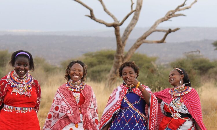
The Manyara Region is home to several indigenous and multilingual communities. These include the Iraqw, Assa, Gorowa, Kw’adza, Mbugwe, Datooga, Maasai, and Barabaig peoples. These groups live across the region and are involved in farming, livestock keeping, and local trade.
Economy of Manyara Region
Farming is the main economic activity in the Manyara Region. Most people grow food crops and keep livestock for daily use and income. Tanzanite mining is another important source of income linked to the region. The tanzanite mines are located at Mount Mererani in the nearby Arusha Region. Tourism also supports the economy, especially visits to nearby Tarangire National Park and Lake Manyara National Park.
Transportation and roads
The Manyara Region is served by key road networks. The main paved road is the T5 highway, which runs from Arusha to Dodoma and passes through Babati town. Another paved road, trunk road T14, connects Singida to Babati and joins the T5 highway. These roads support travel, trade, and access to the region.