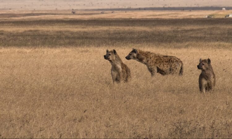
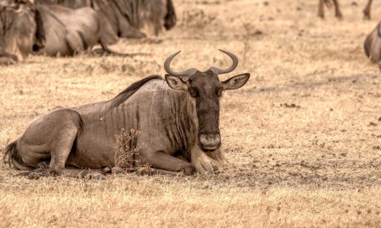
The Eastern Highlands of the Ngorongoro Conservation Area were formed as a result of volcanic activity. These highlands rise on the eastern side of the Ngorongoro Crater and form part of the wider landscape of the Great Rift Valley. Volcanicity created rich soils in this area, which support plant growth and attract wildlife. Because of this, the Eastern Highlands play an important role in the natural balance of Ngorongoro.
The Eastern Highlands lie along the southern and eastern edges of the Ngorongoro Crater. The area includes craters, mountains, and volcanic features that offer walking routes, learning opportunities, and wide views. Below are some of the main features found in the Eastern Highlands of Ngorongoro.
Olmoti Crater
Olmoti Crater is located in the northern sector of the Ngorongoro Conservation Area. It lies south of the nearby Empakaai Crater, making it easy to visit both sites during the same trip. Olmoti Crater is the main source of the Munge River, which flows to lower areas and supports wildlife.
Olmoti Crater is shallow and wide, with good vegetation cover on the crater floor and slopes. It is not as well known as other craters in Ngorongoro, but it is worth visiting for those who enjoy quiet walking experiences. The highest point of Olmoti Crater stands at about 3,080 meters above sea level. The crater has a diameter of about 6.5 kilometers.
Mountains Lolmalasin & Losirua
Mount Lolmalasin is the tallest mountain within the Ngorongoro Conservation Area. It is also the third tallest mountain in Tanzania, after Mount Meru and Mount Kilimanjaro. Mount Lolmalasin rises to about 3,700 meters above sea level.
Attached to it is Mount Losirua, which stands at about 3,260 meters above sea level. These two mountains are found on the eastern border of the Ngorongoro Conservation Area. They are close to Olmoti Crater along the route to Empakaai Crater. With proper planning, both mountains can be hiked in one day.
Empakaai Crater
Empakaai Crater is quieter than the Ngorongoro Crater but offers a rewarding visit. The crater has a diameter of about eight kilometers. A deep lake fills most of the crater floor and is about 300 meters deep, with steep crater walls.
The lake sits at about 3,200 meters above sea level on the western side and about 2,590 meters on the eastern side. The water appears blue, especially on clear days. From the rim, visitors can see Ol Doinyo Lengai and sometimes Lake Natron. There is a campsite on the crater rim, and picnic lunches can also be arranged.
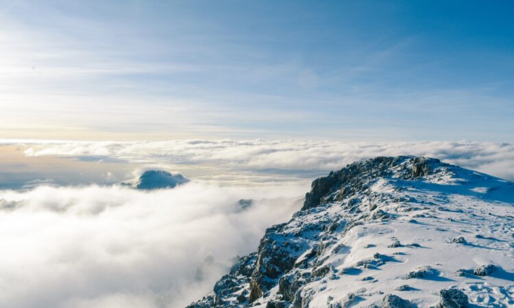
Ol Doinyo Lengai Mountain
Ol Doinyo Lengai stands at about 2,890 meters above sea level. It is located about 240 kilometers north west of Arusha. The mountain lies in the Rift Valley and overlooks Lake Natron. The Maasai people consider it a sacred mountain and call it the Mountain of God.
Hiking Ol Doinyo Lengai takes about six hours to reach the summit. The climb offers views of the Rift Valley, the Ngorongoro highlands, and the crater. Because the mountain is still active, hikes are carefully controlled and usually done during the day.
The Eastern Highlands add depth to any Ngorongoro visit by offering walking routes, volcanic history, and highland views within northern Tanzania.